Before GPS satellites, mapping software, and digital design tools, every map in the world was created entirely by hand. There were no instant coordinates, no automated layers, and no algorithmic rendering. Every line on a map was the result of observation, measurement, and human interpretation.
Traditional cartography was not just a technical process. It was a craft that required patience, discipline, and an almost artistic sensitivity to the land itself.
At Art Map Maker, this heritage is not treated as history alone. It is the foundation of every hand-drawn piece, where pen-and-ink techniques and classical methods are still used to transform geography into fine art rather than automated output.
Mapping the World Before Technology
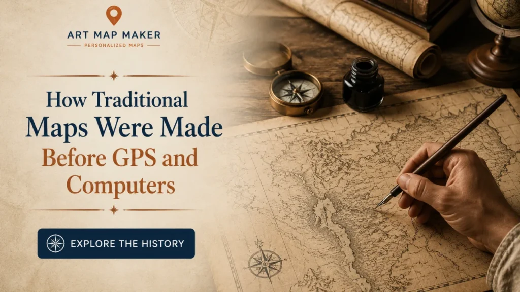
Before computers, cartographers relied on direct experience and physical surveying. Explorers would travel through regions, recording distances, angles, and landmarks using tools like compasses, chains, sextants, and field notebooks.
This information was then brought back to studios where cartographers translated raw data into visual form.
But unlike modern systems, there was no automatic conversion from data to map. Every decision had to be made manually.
How wide should a river appear?
Which roads should be emphasized?
How should a coastline be simplified without losing its character?
These choices shaped not only the accuracy of a map, but its identity.
The Cartographer as Both Scientist and Artist
Traditional mapmakers lived between two worlds.
On one hand, they were scientists working with measurement, geometry, and spatial accuracy. On the other hand, they were artists responsible for visual clarity, balance, and readability.
This dual role is what made historical maps so distinctive. They were not purely mathematical. They were designed objects.
Typography was carefully placed. Decorative elements like compass roses, border frames, and shaded relief were often added not just for function, but for elegance.
In many cases, older maps feel more like illustrated artworks than technical diagrams.
That balance is something modern cartography often loses.
The Role of Observation and Interpretation
Without GPS, cartographers depended heavily on interpretation.
Field notes could be incomplete. Terrain could be difficult to measure precisely. Political boundaries could shift. Even scale could vary depending on available information.
This meant every map required judgment.
A cartographer had to decide how to translate imperfect knowledge into a coherent visual system.
That is where craftsmanship became essential. A good map was not just accurate. It was readable, balanced, and visually honest.
Tools That Defined Traditional Mapmaking
Before digital tools, everything depended on physical instruments.
Ink pens were used for linework and detailing. Mechanical lettering tools ensured consistent typography. Rulers, compasses, and drafting tables provided structure. Brushes and shading tools added depth and tone.
Each tool had a specific purpose, and mastery required years of practice.
Unlike digital workflows, there was no undo button. Every stroke mattered. Mistakes could not be erased instantly without affecting the surface. That constraint forced precision and discipline.
This slower, more intentional process is part of what gives traditional maps their lasting visual richness.
Why These Methods Still Influence Modern Hand-Drawn Cartography
Even though technology has replaced most traditional methods, their influence remains deeply relevant in hand-drawn cartography today.
The principles are the same:
- Clarity over clutter
- Structure over randomness
- Meaningful hierarchy over uniform detail
- Visual storytelling over raw data display
At Art Map Maker, these principles are still applied through pen-and-ink drawing, mechanical lettering techniques, and manual composition methods that reflect classical cartographic training.
The goal is not to recreate old maps, but to preserve the discipline behind them.
The Shift From Utility to Meaning
Modern GPS-based maps are built for efficiency. They are designed to get you from one place to another as quickly as possible.
Traditional maps were different.
They were often created not just for navigation, but for documentation, storytelling, and representation of power, culture, or identity.
Because of this, older maps often included symbolic elements that went beyond geography. Cities might be exaggerated in size. Important regions might be highlighted visually. Decorative borders might reflect the importance of a place rather than its exact shape.
In other words, maps were once both informational and expressive.
Why This History Still Matters in 2026
In 2026, we live in a world where mapping is instant. Anyone can zoom, search, and navigate any location on Earth within seconds. That convenience is extraordinary, but it has also removed the human layer from geography.
Traditional cartography reminds us that maps were once made with intention, not automation.
They were drawn, not generated.
That difference is what gives hand-drawn maps their modern value.
They reintroduce craftsmanship into a world dominated by speed. They turn geography back into something that is seen, studied, and interpreted rather than instantly produced.
And in doing so, they preserve a way of thinking that is slowly disappearing.
Because sometimes, understanding a place is not about how fast you can find it.
It is about how deeply you can draw it.